hankyoreh
Links to other country sites 다른 나라 사이트 링크
US State Department doesn’t clearly show Dokdo as Korean territory
The Bureau of Consular Affairs at the US State Department has provoked controversy by depicting Dokdo as Japanese territory on a map on its website.
In a map that appears on a page providing information about South Korea (http://travel.state.gov/content/passports/english/country/korea-south.html), the bureau (which is in charge of issuing visas and passports for the US State Department) not only refers to the East Sea as the “Sea of Japan” but also omits Dokdo from the map entirely.
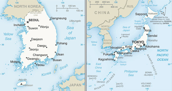
In contrast, the map on the page about Japan (http://travel.state.gov/content/passports/english/country/japan.html) both refers to the East Sea as the “Sea of Japan” and marks Dokdo with a small dot, next to which is written “Liancourt Rocks.”
Since the color of the text is the same black color as other place names in Japan, the map is likely to give anyone the impression that Dokdo belongs to Japan.
However, the maps of South Korea and Japan found on the website of the Bureau of East Asian and Pacific Affairs, the bureau of the State Department in charge of South Korea and Japan, both include the Liancourt Rocks.
“Liancourt Rocks,” which is derived from the name of a French whaling ship called the Liancourt that was the first Western vessel to come across Dokdo, is the name commonly used in Europe.
The country information page on the Bureau of Consular Affairs was updated on Oct. 31, 2014. It has not been confirmed whether the South Korean map had previously included a reference to the Liancourt Rocks which was deleted during the update or whether the islands had always been missing from the map.
Previously, the US Central Intelligence Agency (CIA) deleted the Liancourt Rocks from its map of South Korea in the World Factbook in early January of this year. After media reports made an issue of the omission, the CIA added the islets once more.
At the time, the CIA explained to South Korean diplomats that the Liancourt Rocks had been omitted from the South Korean map due to a technical error in the process of editing the World Factbook.
By Park Hyun, Washington correspondent
Please direct questions or comments to [english@hani.co.kr]

Editorial・opinion
![[Column] Park Geun-hye déjà vu in Yoon Suk-yeol](https://flexible.img.hani.co.kr/flexible/normal/500/300/imgdb/original/2024/0424/651713945113788.jpg "[Column] Park Geun-hye déjà vu in Yoon Suk-yeol") [Column] Park Geun-hye déjà vu in Yoon Suk-yeol
[Column] Park Geun-hye déjà vu in Yoon Suk-yeol![[Editorial] New weight of N. Korea’s nuclear threats makes dialogue all the more urgent](https://flexible.img.hani.co.kr/flexible/normal/500/300/imgdb/original/2024/0424/7317139454662664.jpg "[Editorial] New weight of N. Korea’s nuclear threats makes dialogue all the more urgent") [Editorial] New weight of N. Korea’s nuclear threats makes dialogue all the more urgent
[Editorial] New weight of N. Korea’s nuclear threats makes dialogue all the more urgent- [Guest essay] The real reason Korea’s new right wants to dub Rhee a founding father
- [Column] ‘Choson’: Is it time we start referring to N. Korea in its own terms?
- [Editorial] Japan’s rewriting of history with Korea has gone too far
- [Column] The president’s questionable capacity for dialogue
- [Column] Are chaebol firms just pizza pies for families to divvy up as they please?
- [Column] Has Korea, too, crossed the Rubicon on China?
- [Correspondent’s column] In Japan’s alliance with US, echoes of its past alliances with UK
- [Editorial] Does Yoon think the Korean public is wrong?
Most viewed articles
- 1‘We must say no’: Seoul defense chief on Korean, USFK involvement in hypothetical Taiwan crisis
- 2N. Korean delegation’s trip to Iran shows how Pyongyang is leveraging ties with Moscow
- 346% of cases of violence against women in Korea perpetrated by intimate partner, study finds
- 4[Column] Park Geun-hye déjà vu in Yoon Suk-yeol
- 5‘Weddingflation’ breaks the bank for Korean couples-to-be
- 6Will NewJeans end up collateral damage in internal feud at K-pop juggernaut Hybe?
- 7Amnesty notes ‘erosion’ of freedom of expression in Korea in annual human rights report
- 8[Interview] Dear Korean men, It’s OK to admit you’re not always strong
- 9Korean government’s compromise plan for medical reform swiftly rejected by doctors
- 10[Editorial] Japan’s rewriting of history with Korea has gone too far